


Places
Where the boats go.
Every stop on our routes, from the marina to Chileno Bay. What you can see and do at each one, the story behind it and the rules that protect it.

Landmark
The Arch
The granite arch at the tip of the Baja peninsula, and the reason every route goes this way.
1.2 mi · 1.9 km from the marina
Snorkel
Santa María Bay
A sheltered horseshoe cove with reef along both points and Blue Flag A+.
6.7 mi · 11 km from the marina
Marina
Marina Cabo San Lucas
Where twelve of our thirteen yachts board, in downtown Cabo.
Where most charters start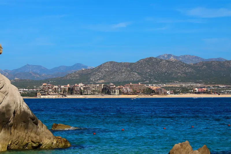
Beach
Médano Beach
Cabo's swimming beach, with Blue Flag stretches, beach clubs and water sports.
Starts outside the marina · beach clubs 0.8 mi · 1.3 km
Snorkel
Pelican Rock
The snorkel stop minutes from the dock, where pelicans perch and people jump off the rock.
0.8 mi · 1.3 km from the marina
Beach
Lover's Beach
The calm bay-side beach at Land's End, reached only by water.
1 mi · 1.7 km from the marina
Beach
Divorce Beach
The Pacific side of Land's End: big surf, for looking only.
1 mi · 1.7 km from the marina
Wildlife
Sea lion colony
California sea lions resting on the rocks beside the Arch, all year.
1.3 mi · 2 km from the marina
Landmark
Cabo Falso lighthouse
The 1905 lighthouse above the Pacific dunes, seen from sunset routes.
3.6 mi · 5.7 km from the marina
Snorkel
Chileno Bay
Calm, clear water just past Santa María, and one of Mexico's first Blue Flag beaches.
7.9 mi · 13 km from the marinaThe chart
All of them, to scale.
Tap a point for a quick look, then open its page.
2 h · Arch & Land's End Pelican Rock, the sea lions, the Arch, Lover's and Divorce Beach, then back along Médano Beach. 4.7 miles (7.6 km) round trip
Stops, with distance from the marina
MarinaLandmarkBeachSnorkelWildlifeWhale season area
Typical routes. Your captain adapts them to the sea that day. Coastline © OpenStreetMap contributors (ODbL).